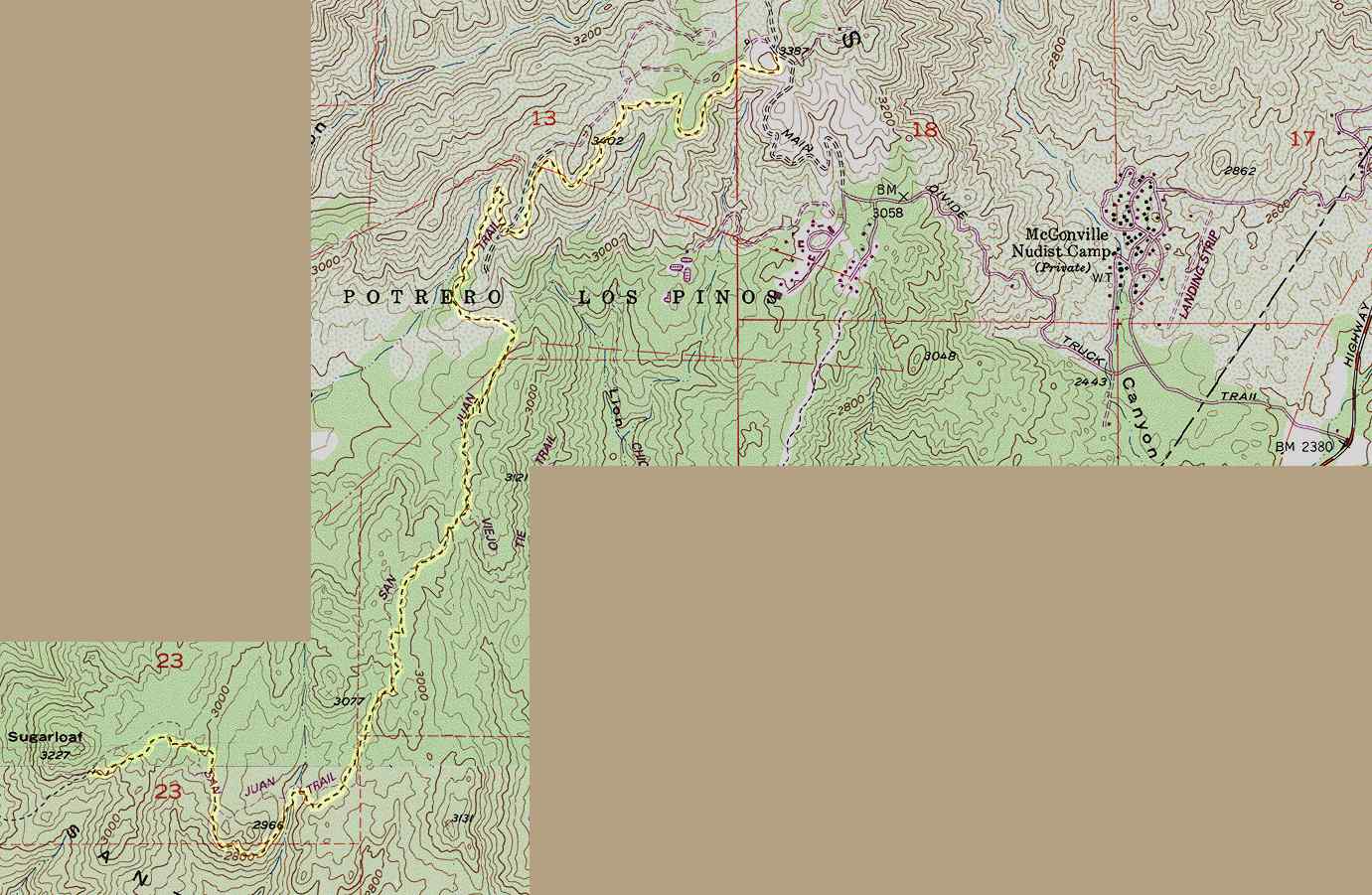
San Juan Trail topographic map
This map is a portion of the USGS Alberhill topographic
map, last revised in 1988. The San Juan Trail has been rerouted
since the map was produced, so I have drawn in the current route
from my GPS tracklog. It is highlighted in yellow. The hike begins
at the right, and the access road leading to the trailhead from
Ortega Highway is also shown, starting at the extreme bottom right.
The map shows a portion of the road
as being unpaved, but it is now, and there may be other minor changes.
Map © 1996 Wildflower Productions at
www.topo.com
Home