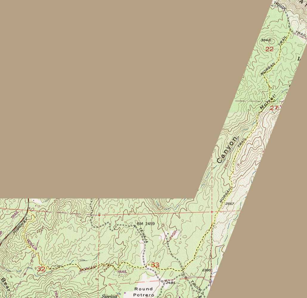
Morgan Trail topographic map
This map is a portion of the USGS Sitton Peak topographic
map, last revised in 1988. The Morgan trail is highlighed in
yellow. The middle portion of the trail has been rerouted since
the topo map was produced, so I have drawn in the current route
from GPS data.
The are two trail intersections, and they are both marked
by signs. Hold left in both cases if you start at the candy store.
There are also two crossings of dirt roads. Continue directly
across the roads. The round trip distance is 10 miles. The round
trip elevation gain is 1000 feet. There are no steep climbs.
Scroll down to see the map
Map © 1996 Wildflower Productions at
www.topo.com
Home