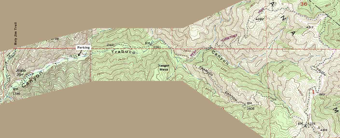
The left portion of this map is from the USGS Santigao Peak 7.5' topographic map, last revised in 1988. The right portion if from the USGS Alberhill map, also revised in 1988.